National Geographic Maps
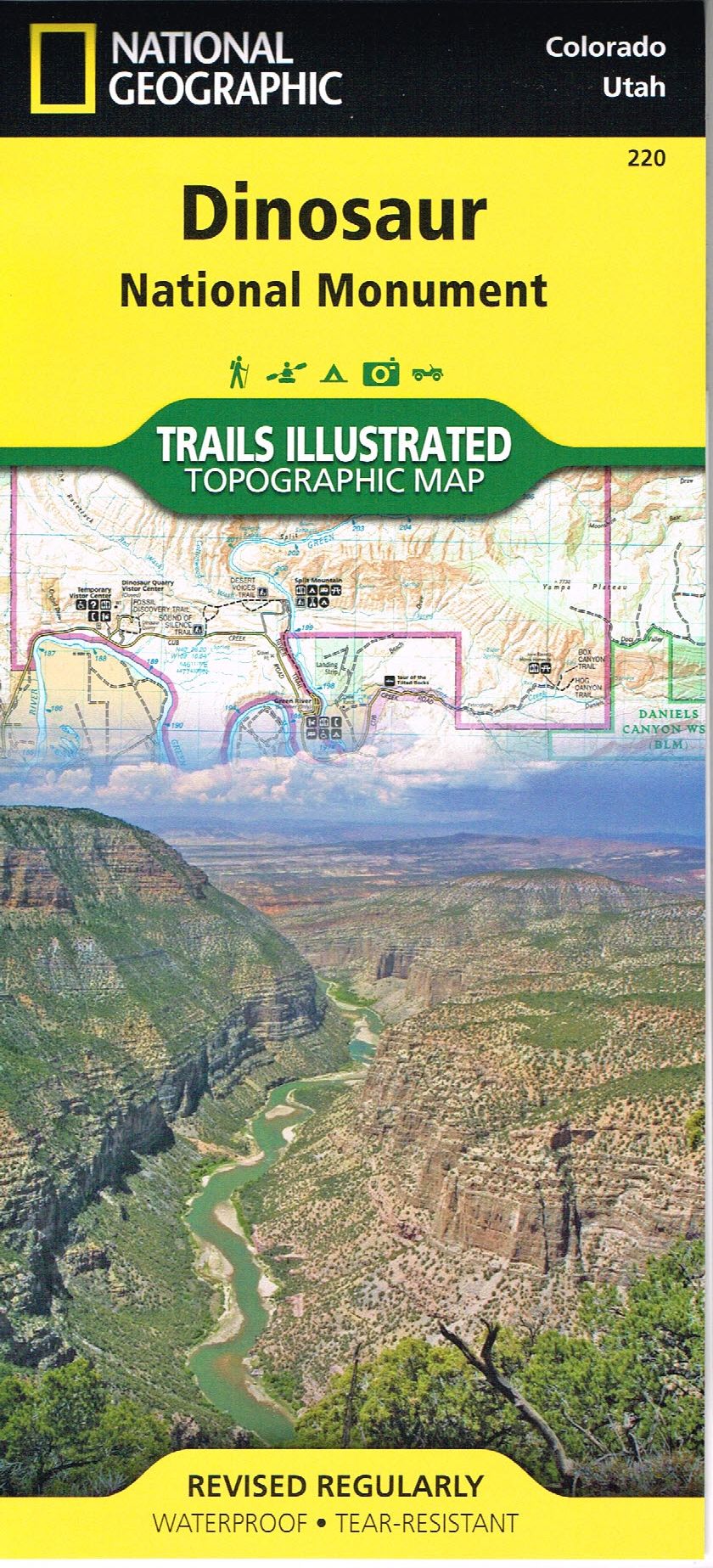
Trails Illustrated: Dinosaur National Monument
Trails Illustrated: Dinosaur National Monument
Couldn't load pickup availability
This Trails Illustrated topographic map for Dinosaur National Monument, which straddles the state lines of northwest Colorado and northeast Utah, is the perfect recreational map for this stunning monument.
Within its craggy hills, you can discover pieces of a long-ago world where the largest land creatures of all time once roamed and died.
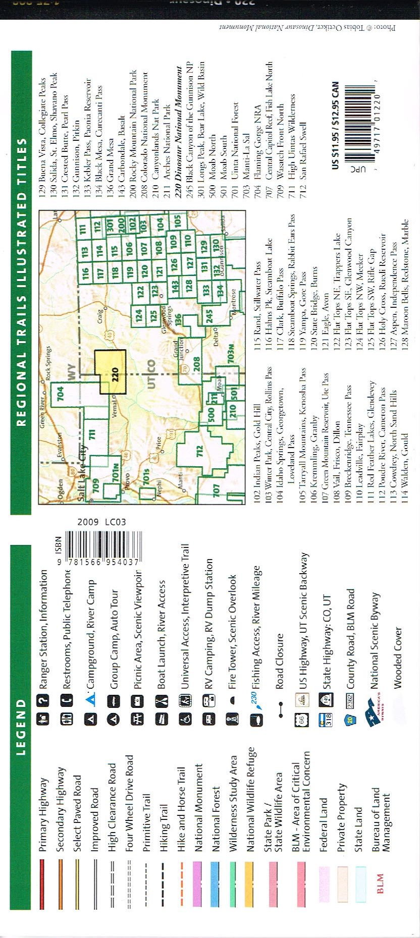
The map includes the entire national monument area, with detailed trails and topographic information. Included are:
- The Lodore Nature Trail,
- The Green River,
- Yampa River,
- Jenny Lind Rock,
- Harpers Corner Nature Trail,
- Rainbow Park,
- Dinosaur Quarry
- Green River Campground, and much more.
Flat Size: 26″ x 38″
Scale: 1:75,000
Folded Size: 4″.25″” x 9″.25″”
Revision Date: 2009
Materials
Materials
Shipping & Returns
Shipping & Returns
Dimensions
Dimensions
Care Instructions
Care Instructions
Share


Image with text
Pair text with an image to focus on your chosen product, collection, or blog post. Add details on availability, style, or even provide a review.
-
Free Shipping
Pair text with an image to focus on your chosen product, collection, or blog post. Add details on availability, style, or even provide a review.
-
Hassle-Free Exchanges
Pair text with an image to focus on your chosen product, collection, or blog post. Add details on availability, style, or even provide a review.


